|
| Heading north on Highway 21. |
The Ozarks are short on diagonal roads. Most highways through the hills run north to
south; a smaller number run east to west; but none run northeast to southwest,
meaning that those of us going from Central Arkansas to Fayetteville face a
wide choice of routes. The right angle
made by the interstate is, of course, the fastest and I am glad to have it,
but, when you make a drive once a month, you want a little variety, especially
on a pretty summer day when you don’t have to be in a big hurry
Coming back from my folks’ to Fayetteville on Friday, I
opted for a new variant of the scenic route, leaving I-40 at Clarksville to
take Highway 21 through the Ozark National Forest to Kingston, where I picked
up Highway 74 to Fayetteville. It’s one
of those routes with signs that say “Crooked and steep next 20 miles,” so it’s
not for those in a hurry or watching their gas gauge too closely, but it is
well worth it. I’ll let the photos speak
for themselves.
 |
Highway 21 north of Clarksville.
|
 |
| Patsy's Diner. Don't miss it. |
I have to put in a plug here.
I stopped at Patsy’s Diner in Ozone.
(They’re on
Facebook.)
The adjoining antiques shop was closed for the day, but I got the
best piece of peanut butter pie I’d had in at least 15 years and had a nice
talk with the folks there.
Don’t miss
it.
I should also note that the only
vaguely religious angle to this story, other than church pictures, is that the
next community north of Ozone is Salus, which perhaps provides a crumb to
traditionalists looking at all of these Ozark meetinghouses.
 |
| Mossville. |
 | |
| Boxley. |
 |
| Boxley. |
 |
| Boxley. |
 |
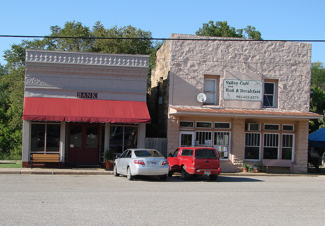
| Kingston. |
 |
| Kingston |
 |
| Upper Wharton Church. |
 |
| Picnic area on Highway 74. |
There are a few more photos on
Flickr.